New Zealand's late-July weather story has shifted from calm high pressure to another cold-watch setup, with WeatherWatch warning that polar airflows are still in the pattern while MetService keeps the formal severe-weather risk limited for Wednesday.
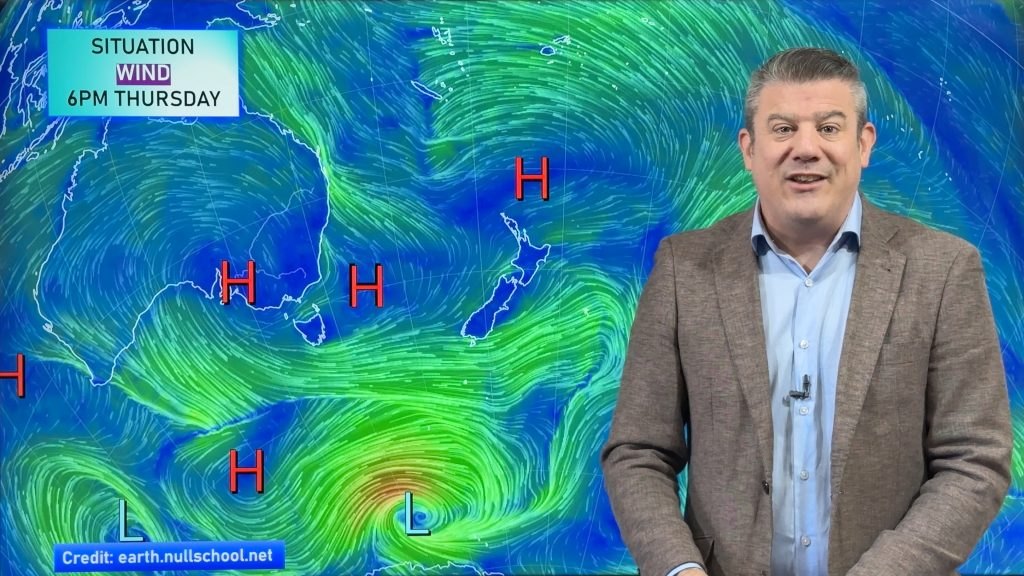
WeatherWatch's current article says some polar airflows and more high pressure will affect New Zealand's weather, with Friday expected to bring a wintry day as the next cold front arrives. Its related homepage wording says snow, rain showers and cold polar southerlies are set to return. The same weather provider has also been flagging cold mornings, frosts and late-week rain as the country moves through a ridge-and-front sequence.
MetService's severe weather outlook for Wednesday 29 July is more restrained. It says high pressure remains slow moving over the North Island and that there is minimal risk of severe weather. That difference is not a contradiction. It shows the distinction between a public planning outlook and a formal severe-weather trigger. A cold weekend can still matter to drivers, farmers, travellers and households even when the official warning page does not show a major national alert.
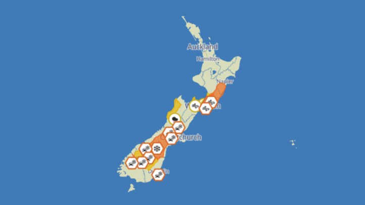
For readers, the practical message is to watch timing and location. West Coast rain, colder southerly air and snow risk at elevation can affect travel and rural work before they become national headline events. Eastern areas may have a very different experience from exposed western ranges. Inland districts can carry frost risk even when nearby urban centres are mostly dealing with showers and wind shifts.
The current setup also underlines why winter forecasts should be checked more than once. A ridge can make one morning feel settled and cold, while the next front changes the picture within a day or two. That matters for people planning weekend sport, farm work, alpine travel, freight routes or long-distance driving. The safest article should not claim a nationwide snow emergency. The verified sources support a more measured warning: cold air returns, rain and showers are possible, and local forecasts should be checked before exposed travel.
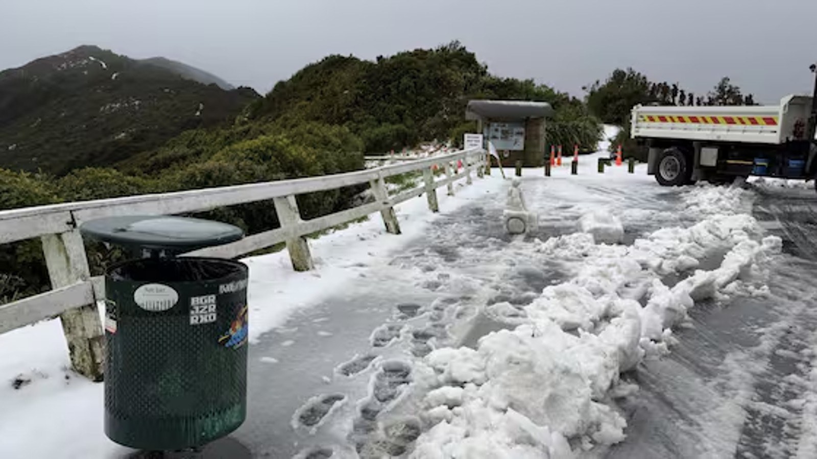
For South Island and central North Island readers, the phrase "polar southerly" should prompt extra care around high roads and early starts. It does not automatically mean every town will see snow, but it does mean temperatures can fall quickly, showers can become wintry on higher ground, and road conditions can change between morning and evening.
For households, the advice is ordinary but useful: check heating, leave time to clear frost, avoid relying on a single national forecast, and use MetService warnings and watches for decisions where safety or travel disruption is involved. WeatherWatch adds useful pattern explanation, while MetService remains the formal warning authority.
The strongest current weather headline is therefore one of preparation rather than alarm. New Zealand is not being told to brace for a confirmed nationwide severe storm on Wednesday. It is being told that another cold, changeable winter phase is approaching, and that the weekend outlook deserves attention.
That distinction matters for public trust. Overstating a forecast can make people tune out, while understating winter hazards can leave drivers and rural communities unprepared. The useful middle ground is clear: no panic, but keep checking the latest local update.