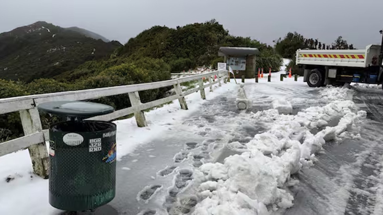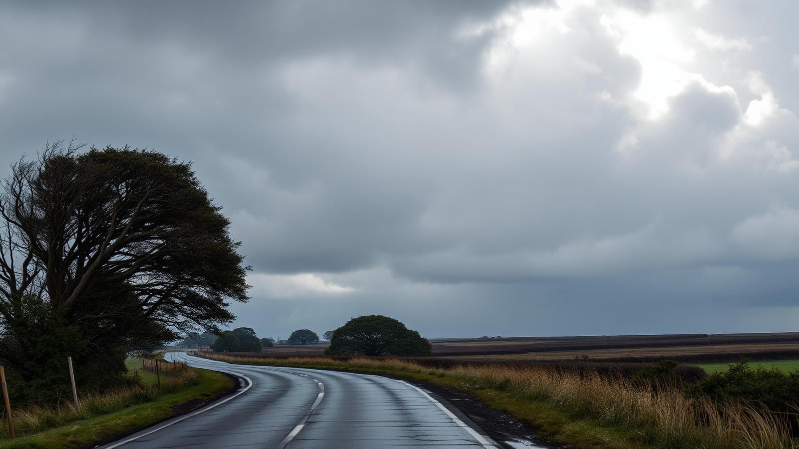
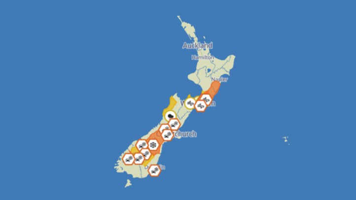
Central New Zealand's burst of snow, rain and gales has eased, but the disruption is still a useful warning for the rest of the school-holiday period. MetService warnings and watches covered parts of Canterbury, Wellington, Wairarapa, Tararua, Hawke's Bay, the Chatham Islands and key alpine roads as a fast-moving front moved north.
The public safety message is that the end of a warning is not always the end of the risk. Roads can remain icy, exposed routes can stay difficult, slips can appear after heavy rain, and damaged trees or powerlines may still need attention after winds drop.
The timing made the system more disruptive than an ordinary southerly. Families were travelling for school holidays, and many drivers were likely to be using roads they do not cross every week. Snow on inland South Island routes and wind across exposed North Island corridors can quickly turn a normal trip into a delay or detour.
For farmers and outdoor workers, the event also created practical pressure. Snow, wind chill, wet ground and access issues can affect stock, staff, machinery and delivery schedules even after the worst weather has passed.
The sensible response is not alarm, but follow-through: check official forecasts and road updates before travelling, build in extra time, and treat recently affected roads and hills as still capable of surprises.