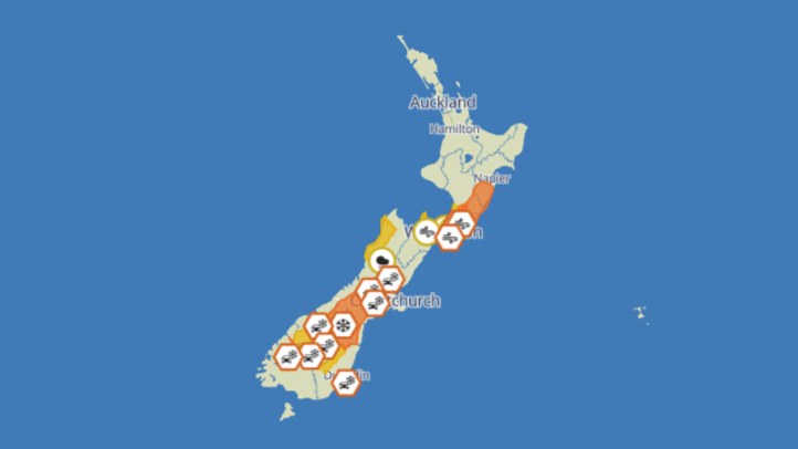
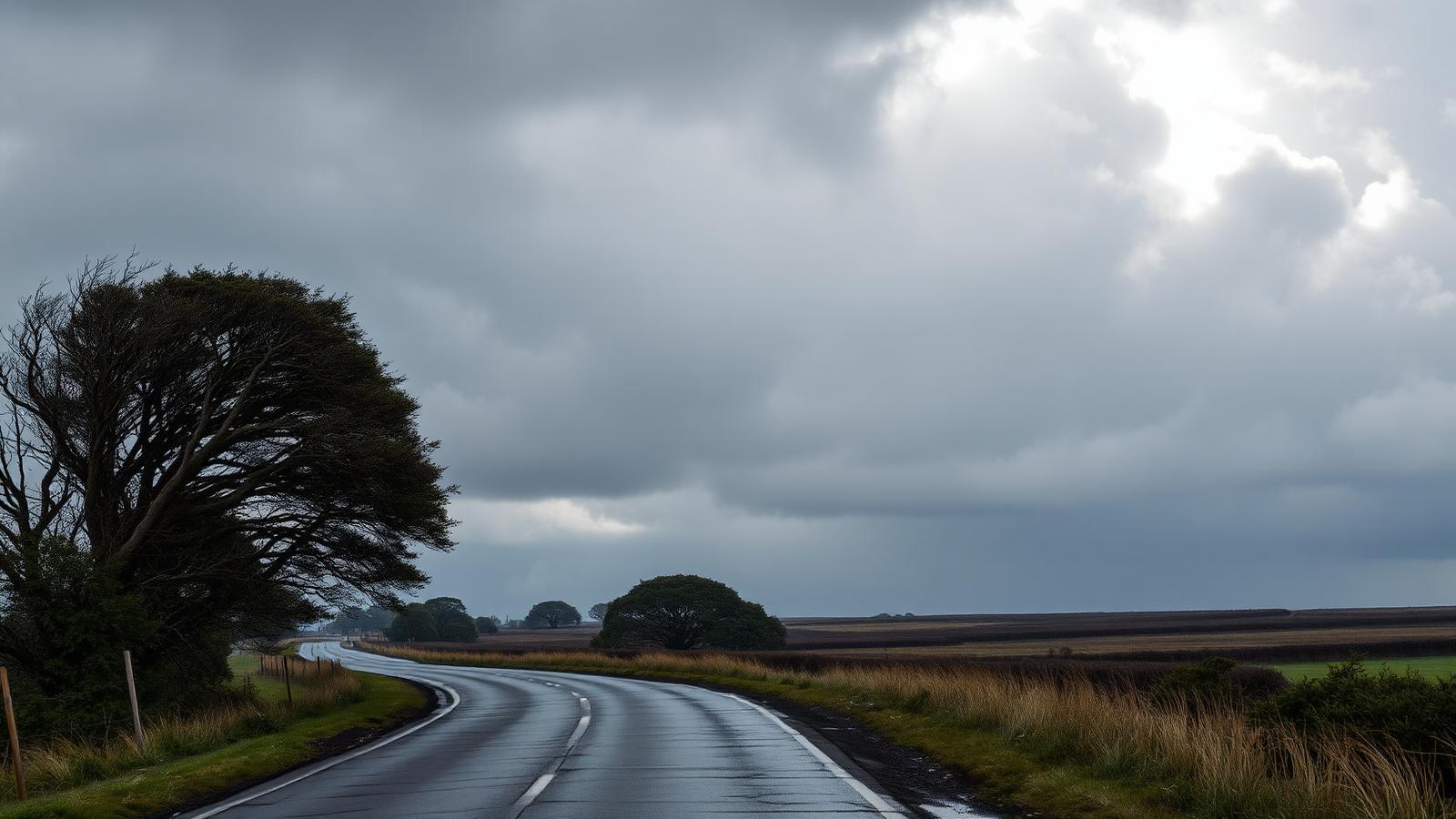
MetService's latest outlook gives New Zealand a classic winter pattern for 4 August: a very cold, strong southwest flow moving over eastern parts of the country, while thunderstorm risk remains low enough that most people should focus on local cold, wind and shower impacts rather than severe storm headlines.
The national severe-weather language matters because it separates practical risk from panic. A cold southwest flow can still disrupt daily life even when warnings are limited or localised. Eastern districts are often the first to feel the bite: Canterbury, Otago, the eastern South Island, coastal Marlborough and eastern parts of the North Island can pick up cold air, showers, rougher exposed conditions and sharp changes in comfort.
For households, the immediate weather effect is about routine. School runs, rural work, building sites, outdoor sport and evening travel all become harder when a cold wind follows wet roads. People do not need a dramatic national warning to take ordinary winter precautions: check the local forecast before leaving, carry warm layers, allow extra travel time and keep an eye on exposed routes.
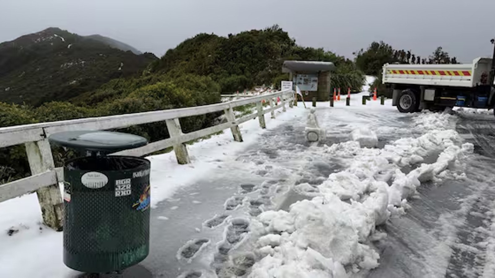
Drivers should treat the southwest change as a road-safety issue. Cold air can make showers feel heavier, reduce visibility quickly and leave shaded roads slippery. Higher roads and inland passes can change faster than urban streets, particularly where temperatures drop near dawn or after dark. Anyone travelling between regions should check transport updates rather than relying on yesterday's conditions.
Farmers and outdoor crews have a different set of concerns. A strong cold flow can affect stock, fencing work, spraying windows, forestry operations and marine activity. Coastal conditions can also be uncomfortable even when the day looks manageable from inland. The safest decision is often not to cancel work entirely, but to time it around the worst wind and shower periods.
The thunderstorm outlook is also useful because it keeps the message proportionate. Forecasters did not point to a widespread severe-thunderstorm setup for the day when checked for this run. That means the main public advice should stay grounded: expect winter weather, not a national storm event.
Cross-checking matters because people often see weather information through several channels: official forecasts, media updates, transport alerts and social posts. When those signals broadly align, the public can respond with less confusion.
The broader lesson is preparedness without alarm. New Zealand weather can move from benign to difficult quickly, especially where sea, hills and cold air meet. A quieter severe-weather day is still a good moment to clear gutters, charge devices, check torches and make sure people who are medically vulnerable or poorly housed are keeping warm.
For today, the headline is not a disaster warning. It is a practical winter note. Eastern New Zealand should expect a cold southwest influence, travellers should keep checking local conditions, and the rest of the country should use official forecasts rather than assuming one national word covers every town.