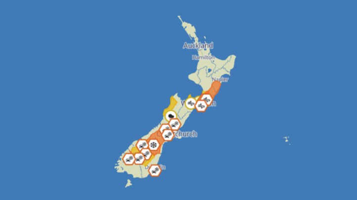
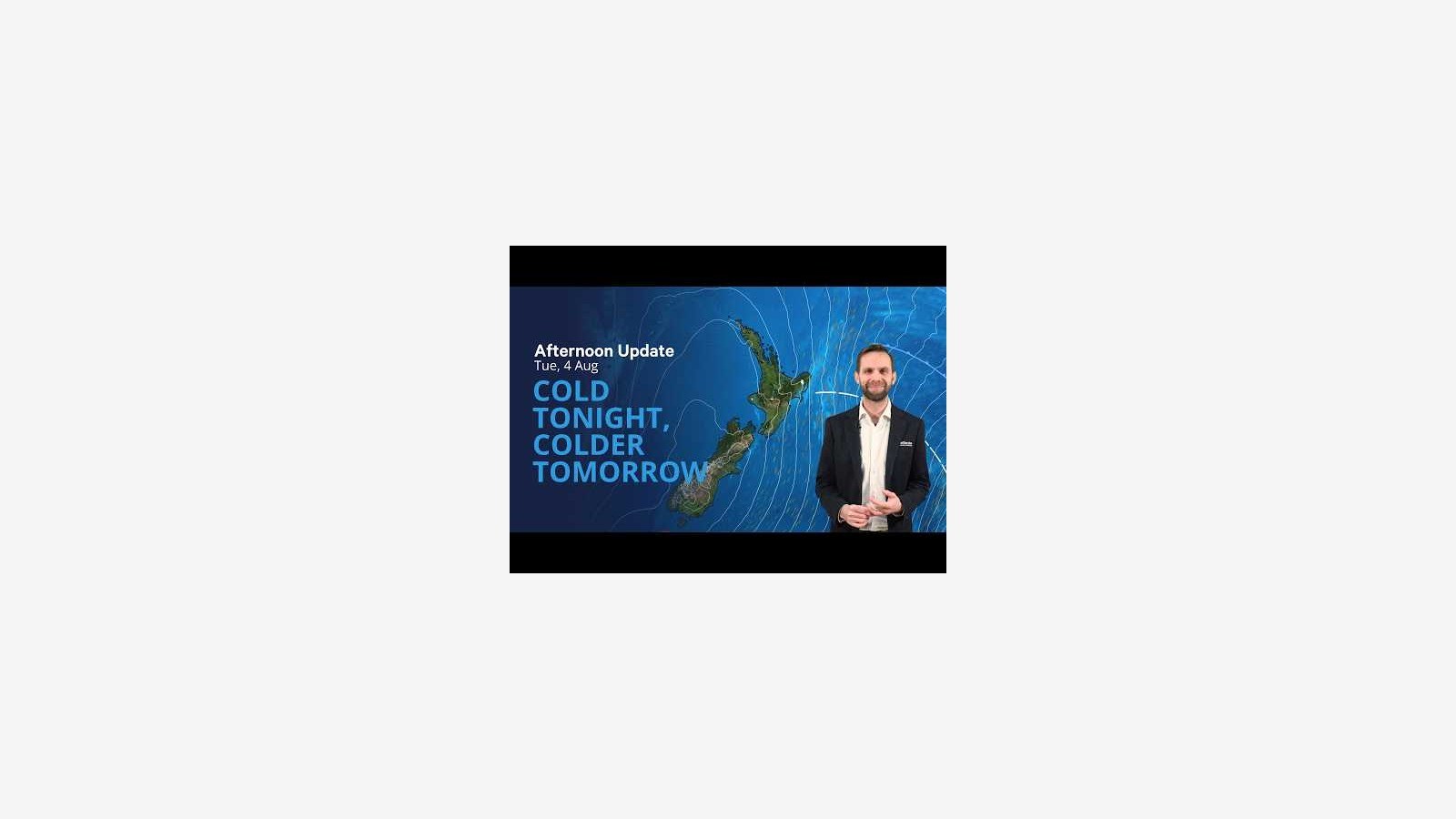
MetService is pointing New Zealanders toward a cold midweek pattern, with its 4 August severe-weather outlook saying a front would move north over the North Island before a very cold and strong southwest flow spread over eastern parts of the country. The agency's weather video for the day carried the plain warning in its title: cold tonight, colder tomorrow.
The main public message is practical rather than dramatic. A cold southwest flow can produce snow, sleet, sharp wind chill and frosty nights, especially for eastern and southern districts. Even where formal warning areas are limited, winter conditions can still affect roads, farms, outdoor work, school travel and people in homes that are hard to heat.
MetService's thunderstorm outlook was checked as part of this run to avoid overstating the risk. The strongest signal was cold air and winter exposure rather than a widespread severe-thunderstorm setup. That distinction matters. People make better decisions when forecasts separate likely impacts from possibilities that are less central to the day.
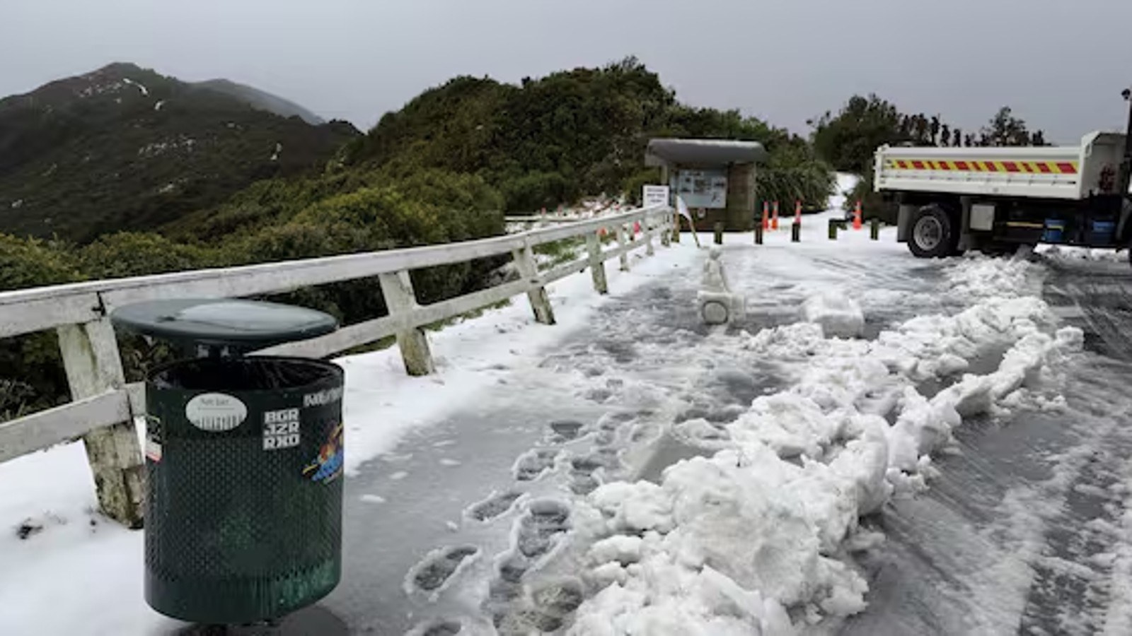
For drivers, the cold change should be treated as a road-safety issue. Snow and sleet can be local, but ice can linger after showers have passed and skies have cleared. Shaded roads, bridges and higher routes are usually the first places to become slippery. Anyone travelling before sunrise or late at night should check local road updates and allow extra time.
Rural communities will watch the pattern closely. Cold wind and showers can affect stock, lambing operations, fencing, forestry and other outdoor work. The weather may not stop every job, but it changes the risk calculation. Shorter outdoor windows, better clothing, more frequent checks and conservative decisions on exposed routes all matter when the air mass turns sharply colder.
Households should also think beyond the forecast map. Frost can make mornings harder for older people, young children and anyone with respiratory conditions. Keeping rooms warm, checking on neighbours, drying damp clothing and reducing unnecessary travel are small steps that can make a cold snap less disruptive.
The pattern is also a reminder that New Zealand's winter weather can vary widely over short distances. A city forecast may look manageable while a nearby hill road or exposed coast feels very different. That is why official local forecasts, road agencies and council updates should be checked together rather than relying on a single national headline.
For the eastern South Island, Wellington-facing routes and exposed North Island districts, the next 24 hours are likely to feel more severe than the calendar date alone suggests. The cold is the story: not only the daytime temperature, but the overnight drop, the frost risk and the way wind can turn ordinary showers into uncomfortable conditions.
The safest reading of the MetService outlook is simple. Winter is still active, colder air is moving through, and people should plan around local conditions before they travel, work outdoors or assume yesterday's road state still applies.
The update also shows why the official outlook should be treated as a living document. Cold southerlies can ease in one district while another area is still dealing with wind, sleet or frost. Checking the latest MetService page before making a trip is the practical step that turns a national forecast into a local decision.