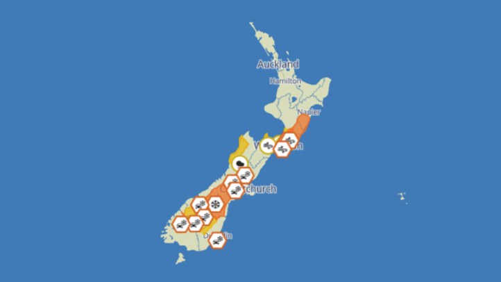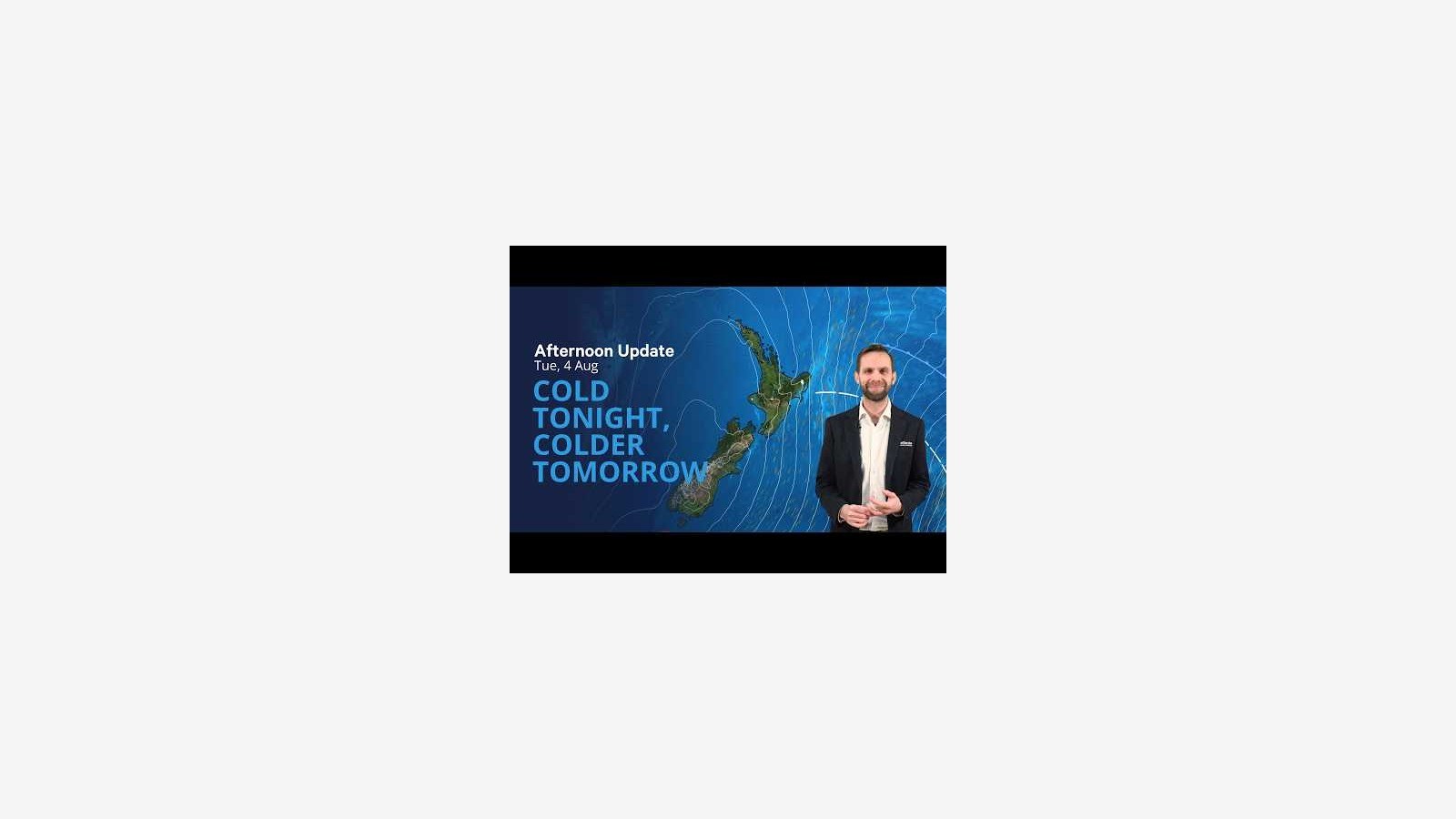
MetService is warning that the coldest nights of the current snap are still ahead, after snow, hail and icy roads gave many New Zealanders a rare midwinter shock. 1News reported on 5 August that severe overnight frosts were forecast across large parts of the country, with MetService meteorologist John Law saying the next few nights would be colder again.
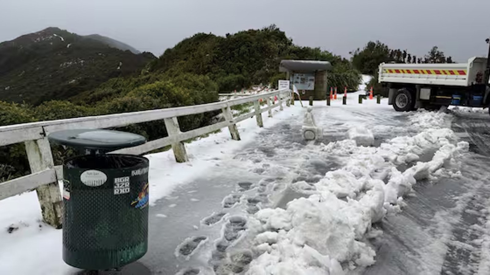
The weather has already produced scenes unusual enough to become national news. The Guardian reported rare snowfall in Wellington, snow on Dunedin streets, disruption to roads and the sight of people making the most of the cold in places where snow is not a routine part of daily life. The novelty, however, should not obscure the risk: ice, frost and cold homes are practical hazards.
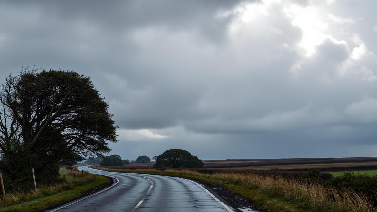
The main issue now is overnight temperature. A clear, calm night after a cold southerly can pull heat out of roads, paths, paddocks and houses quickly. Frost is most dangerous where people assume the worst has passed because the snow showers have eased. Black ice on shaded roads and bridges can remain hard to see until a vehicle is already on it.
For drivers, the safest approach is to treat early morning travel as a winter hazard even in places that do not usually need alpine caution. Slower speeds, longer following distances and updated route checks are sensible. Rural roads, hill passes and exposed commuter routes deserve particular care, as does any trip before sunrise.
Farmers and outdoor workers face a different set of pressures. Cold stress can affect stock and staff, especially where wind and wet ground combine. The weather does not have to be historic to be disruptive. A few degrees can change whether a job is safe, whether animals need extra monitoring and whether equipment can be used without adding risk.
Households also need to manage the health side of the cold. Older people, babies, people with respiratory conditions and anyone in damp housing can be affected by long cold nights. Keeping living areas warm, checking on vulnerable neighbours and reducing unnecessary exposure are small but important responses.
The cold snap also intersects with electricity demand. The Guardian reported that Transpower recorded very high demand during the Wednesday morning peak, which is exactly what happens when heating demand rises at the same time households and businesses are starting the day. The grid impact is another reason forecasts matter beyond daily comfort.
Weather stories can become distorted when the most eye-catching images dominate. Snow in Wellington and people skiing down Dunedin streets are memorable, but the operational message from MetService is simpler: the next nights require preparation. That means local forecast checks, road updates, frost awareness and realistic plans.
The event is a reminder that New Zealand's weather risk is not only storms and floods. Cold can move quickly from novelty to hazard, particularly for people on roads, in exposed work, or in homes that do not retain heat. The next morning after the snow can be the moment when caution matters most.
Councils and emergency agencies will also be watching the thaw, because ice can become surface water and minor slips once temperatures lift. That follow-through is why households should keep checking official updates even after the most photogenic part of the cold snap has passed.