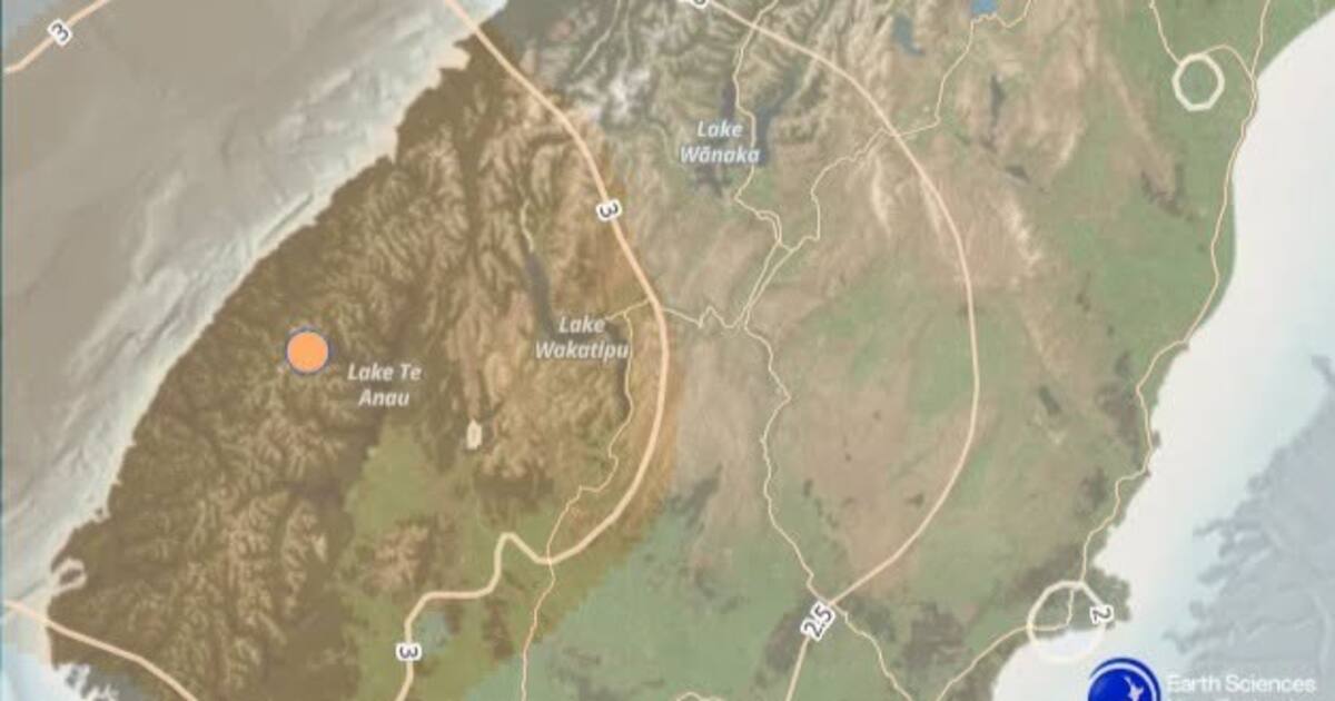
A light 5.2 magnitude earthquake near Te Anau has reminded Southland and lower South Island residents that winter readiness is not only about snow, rain and wind. 1News reported that GeoNet recorded the quake 35 kilometres north-west of Te Anau, at a depth of about 102 kilometres, with thousands of people submitting felt reports.
The quake was described as light, which matters. A deep earthquake can be widely felt without causing the kind of surface damage associated with a shallower event of similar magnitude. But the public response still counts because felt reports help scientists map how shaking travelled and help emergency agencies understand where people noticed it most. A light quake is therefore both a scientific data point and a public nudge.
Te Anau and the surrounding region sit in a part of the country where natural-hazard planning is part of ordinary life. Southland, Fiordland and Otago communities can face alpine weather, slips, road closures, lake and river hazards, and earthquake risk. Visitors also add complexity. Tourists may be driving unfamiliar roads, staying in short-term accommodation or relying on phones for directions and alerts.
That is why this belongs on the Weather page even though earthquakes are geological rather than meteorological. For households and travellers, the practical question is the same: what happens if conditions change quickly or normal movement is interrupted? A winter quake may not damage homes, but it can still make people check emergency kits, petrol levels, battery packs, medication supplies and family contact plans.
Civil Defence advice remains straightforward. Drop, cover and hold during shaking. Once the shaking stops, check yourself and others, expect aftershocks, and follow official information. In coastal areas, people should also know the natural warning signs for tsunami, although the reported depth and location of this quake did not create a public tsunami emergency in the 1News coverage.
The regional travel message is equally practical. People heading through Te Anau, Milford Road, Queenstown routes or rural Southland should monitor weather, road and hazard updates together. Earthquakes can trigger rockfall or slips in steep terrain even when the shake feels moderate. In winter, ice and low visibility can make any detour or delay more serious.
For emergency managers, felt-report participation is useful public behaviour. It turns a moment of uncertainty into information that can be analysed. It also keeps people engaged with official channels rather than relying only on social media posts that may exaggerate or misread the event.
The Te Anau quake does not need to be treated as a crisis to be taken seriously. Its value is as a reminder. Natural hazards in New Zealand rarely arrive according to one category at a time. A household prepared for weather disruption is usually better placed for shaking, power cuts or transport delays as well. The safest response after a light quake is calm checking: update the plan, confirm the supplies and keep official alerts close.
Local councils and accommodation providers can help by keeping emergency information visible for visitors, especially in holiday towns where many people may not know local evacuation routes, radio stations or road alternatives.