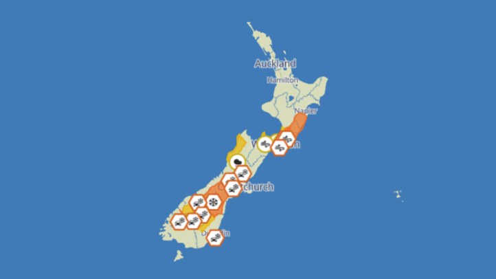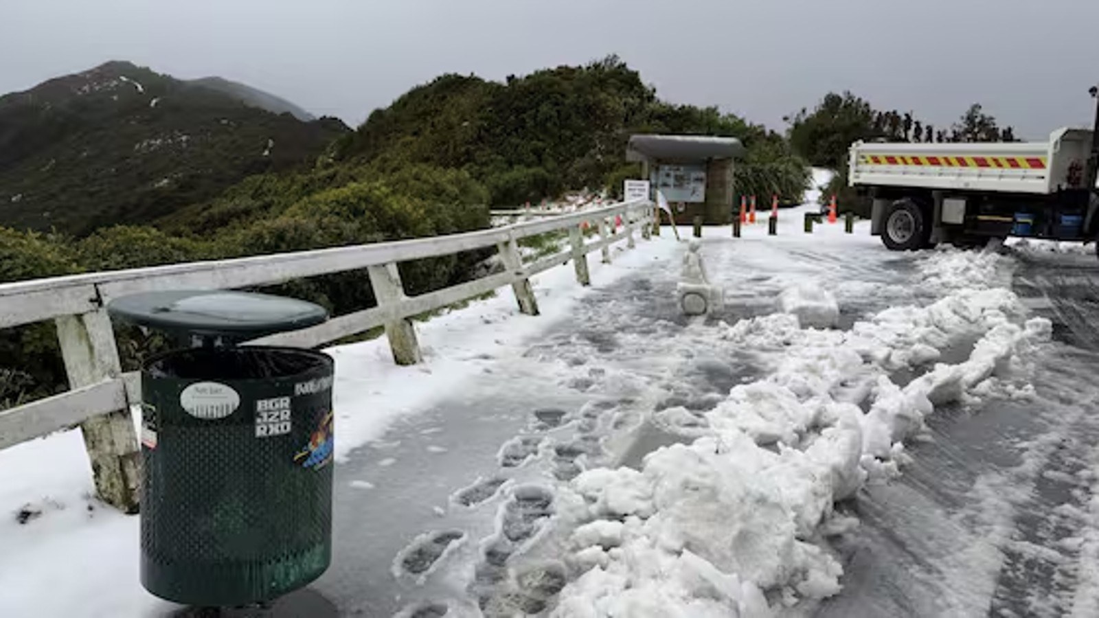
MetService's Wednesday weather message is centred on a low and associated fronts moving onto New Zealand, with rain and strong winds affecting parts of the country and the upper North Island carrying the most immediate warning interest. Search-indexed MetService updates for 24 June say the low is expected to bring rain and strong winds, with a moderate risk noted in the severe-weather outlook and a public warning summary posted for the upper North Island.
The practical story is not simply that it will rain. Heavy rain in the north can quickly affect roads, small streams, surface flooding, slips and visibility. The upper North Island has many commuter routes, rural roads, coastal settlements and low-lying urban areas where a few hours of intense rain can cause disruption. People should check the live MetService warnings page before travel because warning boundaries and timing can change during the day.
The MetService homepage forecast also points to rain elsewhere, with heavy falls in the north and showers developing in parts of the east and south of the North Island. For the South Island, the same national forecast indicates rain in the north with heavy falls possible. That means the system is broad enough to affect more than one region, even if the highest public attention sits around the upper North Island warning area.
For households, the useful preparation is simple. Clear drains if it is safe, secure outdoor items, allow extra travel time, avoid driving through floodwater and keep phones charged. The main mistake in heavy-rain events is treating familiar roads as permanently safe. A road that was clear during the morning school run can be covered or undermined by the afternoon if rain concentrates in the wrong catchment.
For councils, contractors and emergency services, the first priority is usually information flow. Residents need clear road closures, stormwater updates and advice about whether beaches, parks, tracks or low-lying facilities are affected. Timely local updates matter because national warnings tell people the risk exists, while council and transport notices tell them what has changed in their own area.
Businesses should also treat the forecast as operational information. Couriers, trades, rural contractors, hospitality venues and event organisers may need to adjust staffing, delivery schedules, outdoor work and customer communications. Weather disruption is easier to manage when decisions are made early and explained plainly.
The strong-wind risk should not be lost behind rainfall totals. Wind can bring down branches, make exposed roads difficult for high-sided vehicles, and turn loose outdoor furniture or signage into a hazard. People often focus on rain because it is visible on radar, but wind is frequently what creates the sudden damage callout.
The safest public advice is to use official live sources and avoid relying on screenshots. MetService warnings may be updated at any time, and social posts can become stale quickly. On a day when a low is moving across the country, the best plan is to check before leaving, check again before returning, and change plans early if local conditions deteriorate.