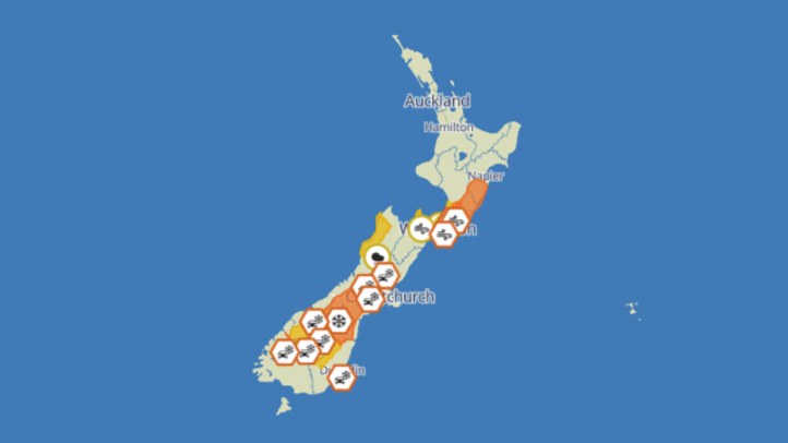
MetService's live warnings and severe-weather outlook keep rain and wind risk in the daily planning frame for southern and central New Zealand. The exact districts, confidence levels and timing must be checked on MetService before travel, because warnings and watches can change quickly as fronts cross the country. The public point is steady rather than dramatic: winter systems remain active enough that households, drivers, event organisers and rural businesses should keep official updates close.
Rain risk is a practical story before it becomes a disaster story. Heavy rain can trigger slips, surface flooding, poor visibility, rising rivers and difficult driving even when totals vary sharply between valleys. A national forecast can tell people the broad pattern, but local warning pages decide whether a school run, stock move, track walk, ferry crossing or long drive still makes sense. The safest approach is to plan from the live warning, not from a screenshot or yesterday's summary.
Wind deserves the same attention. Strong northwesterlies or southerly changes can affect exposed highways, bridges, alpine roads, construction sites, marinas and outdoor events. High-sided vehicles, trailers, campervans and motorcycles are especially vulnerable when gusts hit at the wrong angle. People often take rain more seriously because it is visible. Wind can be just as disruptive because it damages objects, changes sea conditions and increases fatigue for drivers.
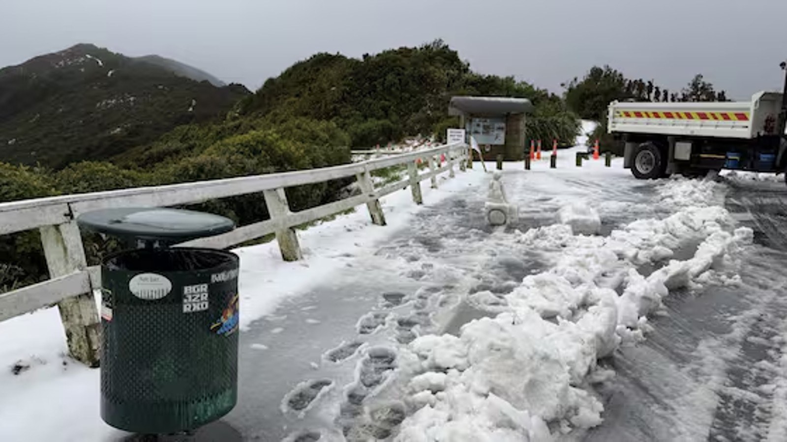
For the South Island, the main planning issue is route exposure. West Coast, alpine and inland routes can be affected by rain, slips, snow, wind and river conditions in different combinations. Even when a main centre is calm, the road to it may cross a risk area. Freight operators, tourists and families travelling between regions should check road and weather updates together rather than treating them as separate decisions.
For central New Zealand, Cook Strait and surrounding coastal areas often turn weather into transport pressure. Ferries, small craft, exposed roads and waterfront activities can all be affected by wind and swell. A moderate forecast for one town may still produce a hard day for a crossing or coastal job. Marine forecasts and operator updates are therefore part of the weather story, not an optional extra.
Event organisers should keep communication plain. If a market, sports fixture, school trip, outdoor performance or community gathering changes, the update should say what changed, when the next decision will be made and where people should check. Vague reassurance creates more risk than a clear caution. Winter audiences can handle a change of plan if they receive it early enough.
Rural businesses have a different checklist. Rain affects pasture, tracks, river margins, machinery access and animal movement. Wind affects trees, sheds, power lines and work safety. Contractors should treat the forecast as a work-planning input, not a background note. A delayed job can be cheaper than a rescue, vehicle recovery or preventable injury.
For households, the basics remain useful: secure loose outdoor items, charge phones, keep torches accessible, avoid unnecessary exposed travel and check on people who may need help. The weather may not become severe in every place named in an outlook, but the value of a warning is that it lets people reduce exposure before conditions deteriorate. That is the difference between a forecast being information and a forecast being protection.