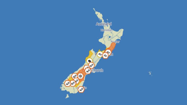
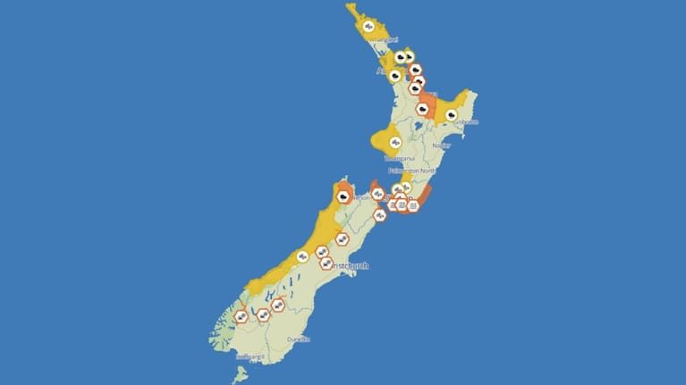
New Zealand's weather risk remains a practical household and travel story as a low from the Tasman Sea brings heavy rain, gales, big swells and snow into the national forecast. 1News reported that MetService expected intense downpours, thunderstorms and strong winds as the low moved slowly over the North Island on Thursday. The report said the forecaster had expanded watches and warnings through the day, with orange heavy rain warnings affecting areas including the Coromandel Peninsula, western Bay of Plenty and inland Tasman west of Motueka.
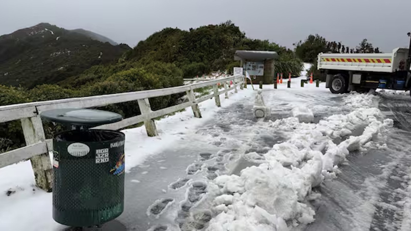
The important point for readers is that this is not a single-location shower forecast. The system has several risk types attached to it. Heavy rain can affect slips, surface flooding, rural access roads and stormwater systems. Severe gales can bring down branches, lift unsecured outdoor items and create dangerous driving conditions on exposed bridges and coastal roads. Big swells can make beaches, harbours and waterfront paths hazardous even after rain has eased. Snow risk adds another layer for alpine passes, farms, ski areas and freight routes.
MetService's severe weather outlook for Thursday said an extensive deep low was moving slowly east over the North Island, with heavy rain and strong winds affecting parts of the island. That language matters because slow-moving systems can keep pressure on the same catchments for longer than a fast front. People often focus on the heaviest rain rate, but duration is just as important. A moderate-looking forecast can still cause trouble if it continues over saturated ground or arrives on top of already elevated rivers.
The advice for households is simple but easy to postpone. Check the latest MetService warnings before leaving, especially if travel crosses a hill road, ferry route, exposed coast or flood-prone area. Charge phones, secure loose outdoor items, clear obvious drains if it is safe to do so, and avoid driving into floodwater. Rural readers should keep a close eye on stock, culverts and access tracks. Urban readers should not assume the risk is only for remote highways; short, intense downpours can overwhelm city drains quickly.
For event organisers and hospitality operators, the weather story becomes a planning issue. Winter bookings, school activities, sport, courier runs and staff travel can all be affected by warnings. Clear communication is better than last-minute improvisation. If an event is going ahead, say so. If conditions are being monitored, say when the next decision will be made. If travel is risky, give people permission to change plans without feeling they are overreacting.
The forecast also shows why public weather language needs to stay specific. Heavy rain, gales, swells and snow are different hazards, and readers need to know which one applies to their region and their plans. A national headline is useful for awareness, but the decision that matters is local: whether to drive, whether to launch a boat, whether to delay a delivery, whether to move stock, or whether to keep children inside.
The safest reading of this system is caution without panic. New Zealand gets winter lows every year, but each one lands on different ground conditions, tides, travel patterns and household routines. The current MetService warnings should be checked live, because watches can be upgraded or removed as the low moves. The forecast gives people enough notice to make practical decisions before the worst conditions arrive.